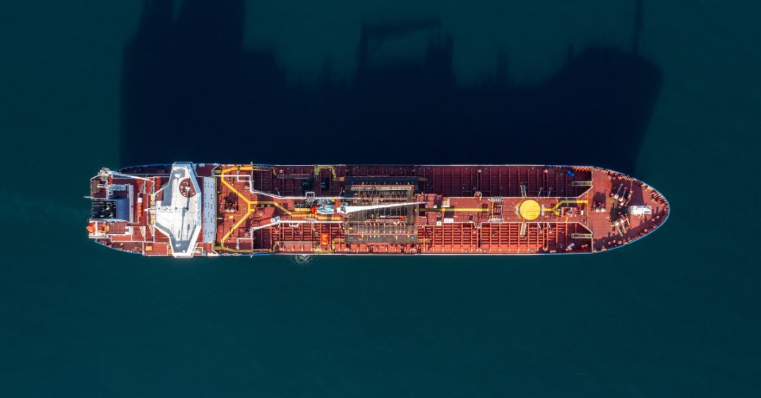
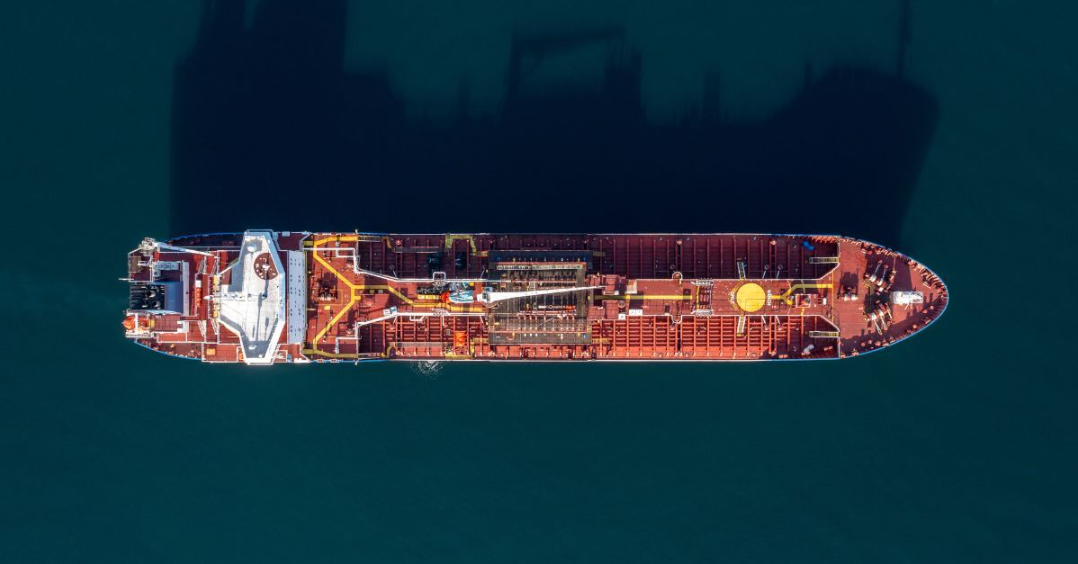
三菱重工开发了一种独特的卫星技术,可以追踪非法作业的船只,也被称为“黑暗舰队”。
这一尖端系统使用人工智能来改善海上监测和对海上非法活动的反应。
新开发的设备被称为AIRIS(太空人工智能再训练),将地球观测相机与人工智能驱动的数据处理器结合在一起。
与通常将大量数据传回地球进行分析的卫星系统不同,AIRIS会检查卫星上的图像。
它可以探测到目标物体,比如没有使用自动识别系统(AIS)的船只,并只发送必要的信息,大大改善了数据管理。
AIRIS将于明年与日本宇宙航空研究开发机构(JAXA)一起开始试验,旨在打击非法捕鱼并改善海上安全。
这项技术可能会改变当局追踪那些试图通过关闭或伪造AIS信号来躲避检测的船只的方式。
这些行动给海上安全分析人士带来了困难,他们通常依靠高分辨率卫星图像来发现可疑活动。
早些时候,卫星监测需要耗时的操作,需要将数据传送到地面站进行检查。
这种方法可能会导致数据丢失,特别是当地面站不在覆盖范围内时。三菱重工的新方法是利用船上的人工智能实时分析卫星图像。
该方法节省了带宽,并通过关注可能存在风险的领域来优先处理关键数据。
AIRIS的目的是加快对可疑海上活动的发现,从而更快地对非法活动作出反应。
该技术旨在打击非法、未报告和无管制(IUU)的捕捞活动,这些活动每年给全球经济造成200多亿美元的损失。
AIRIS上的人工智能模型可以不断更新,使其适应新的应用,如跟踪***飞机或车辆。
▲图源:网络,侵权必删
英文原文
Mitsubishi Heavy Industries has developed a unique satellite technology to track vessels operating illegally, also known as the “dark fleet.”
This cutting-edge system uses artificial intelligence to improve maritime monitoring and response to illegal activities at sea.
The newly developed device, known as AIRIS (Artificial Intelligence Retraining In Space), combines an Earth-observation camera with an AI-powered data processor.
Unlike usual satellite systems that send vast amounts of data back to Earth for analysis, AIRIS examines images on board.
It detects target objects, such as vessels that do not use Automatic Identification System (AIS), and sends only essential information, considerably improving data management.
AIRIS, which is set to begin trials with the Japan Aerospace Exploration Agency (JAXA) next year, aims to combat illegal fishing and improve maritime security.
The technology could transform how authorities track elusive vessels that try to avoid detection by turning off or falsifying their AIS signals.
These actions have made it difficult for maritime security analysts, who often rely on high-resolution satellite images to detect suspicious activity.
Earlier, satellite monitoring necessitated time-consuming operations that required data to be delivered to ground stations for examination.
This method can cause data loss, particularly if ground stations are out of range. MHI’s new method employs AI onboard to analyze satellite images in real-time.
The method saves bandwidth and prioritizes crucial data by focusing on areas where risks may exist.
The purpose of AIRIS is to speed up the detection of suspicious maritime activity, allowing for faster responses to illegal activities.
The technology aims to combat illegal, unreported, and unregulated (IUU) fishing, which costs the global economy over $20 billion annually.
The AI model on AIRIS can be continuously updated, allowing it to adapt to new applications like tracking rogue aircraft or vehicles.
免责申明:本文根据Shipping Herald等内容整理,如有误差,以英文为准;仅代表作者观点,不代表中国海员之家立场。其真实性及原创性未能得到中国海员之家证实,在此感谢原作者的辛苦创作,如转载涉及版权等问题,请作者与我们联系,我们将在第一时间处理,谢谢!联系邮箱:cnisu@54seaman.com


 联系我们人工客服


 :1391995811


评论 (0人参与)